This post is also available in: Français (French)
.
READING the MAP
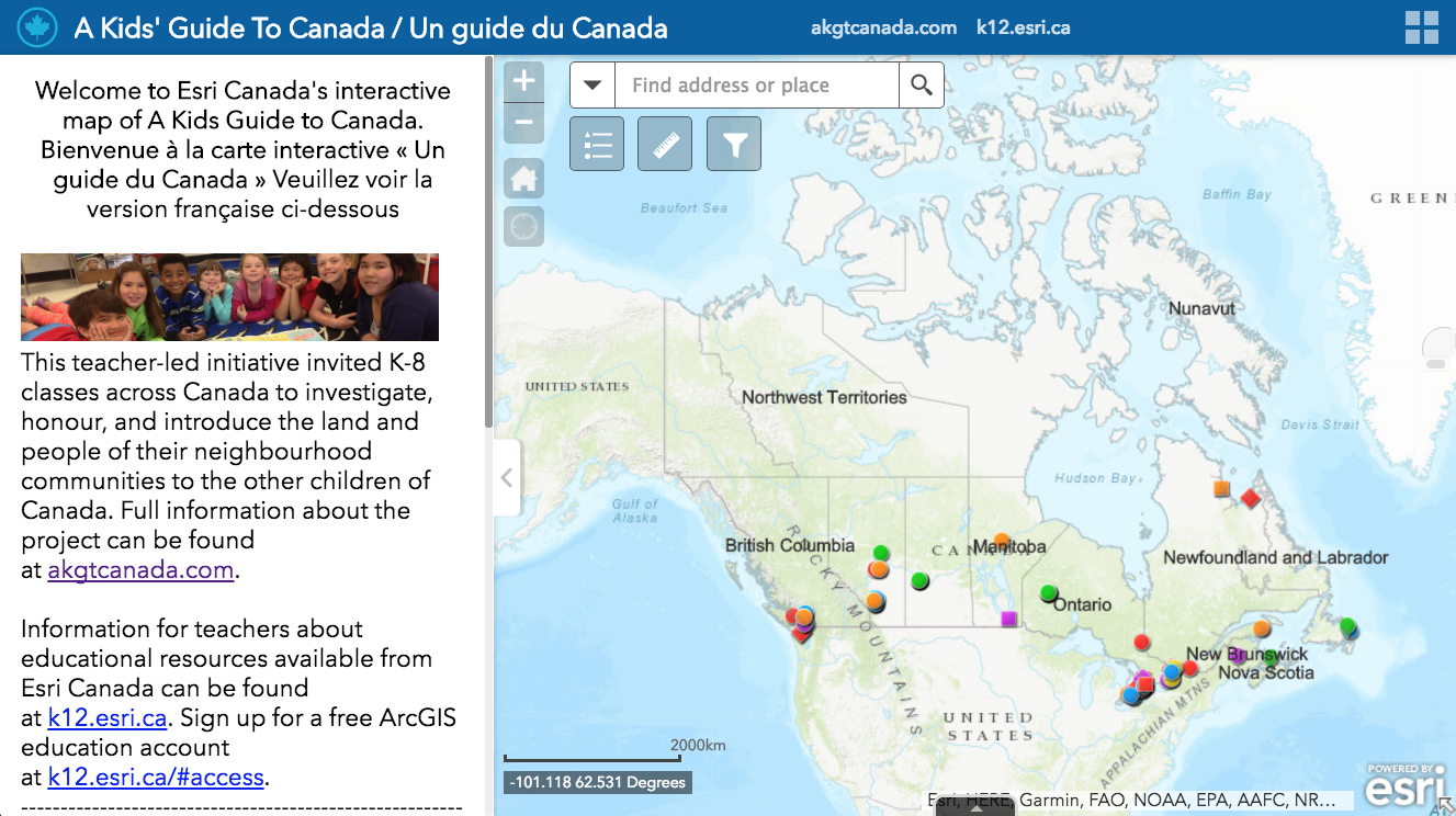
to explore community introductions posted by K-8 classes from across Canada!
.
HOW TO READ THE MAP
.
1. CLICK on ANY COLOURED DOT

An artifact entry for that location will open in a white information box on the map.
.
.
2. READ the ARTIFACT INFORMATION BOX

This artifact information box provides information about the class that uploaded the artifacts, and about the artifacts they have uploaded to introduce their community.
.
.
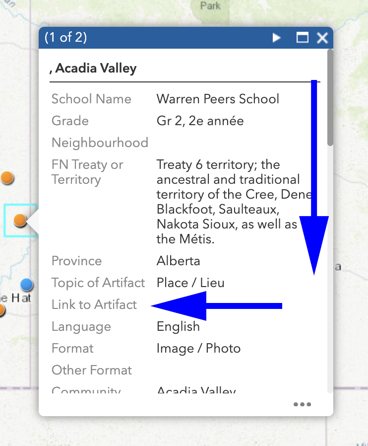
3. Use the MAXIMIZE BUTTON or the SCROLL BAR to read the entire information box

.
.
4. Scroll down to the LAST LINE of the info box to find PHOTOS
Click on each link to view each photograph.

.
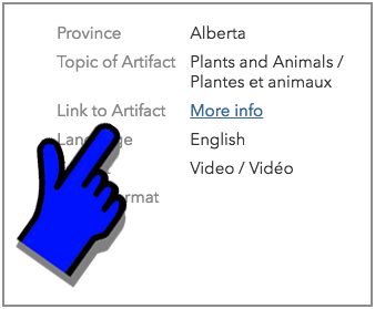
5. Scroll HALF-WAY DOWN the info box to see of there is a LINK to any artifact or work posted by class OFF the map such videos, slideshows, podcasts, presentations, books, creations on websites, etc.

6. Click “MORE INFO” to see multimedia artifacts (videos, slideshows, podcasts, presentations, books, creations on websites, etc.)


.
.
6. Check the UPPER RIGHT CORNER of the info box to see how many entries have been posted at this location.
(1 of 2) means there are 2 different entries posted at this location. Perhaps one class has uploaded 2 different artifacts, or perhaps 2 different classes at the same school have uploaded artifacts. Or perhaps it might even refer to another school close by.
USE the FORWARD ARROW to click through each different school or class entry.

.
.
~ ~ ~ ~ ~ ~ ~ ~ ~ ~ ~ ~ ~

